– More challenging hikes –
Vardanosi
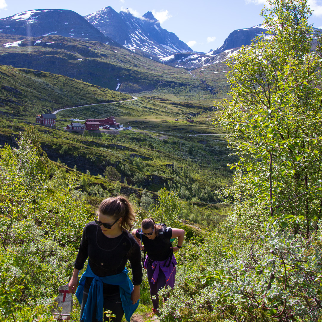
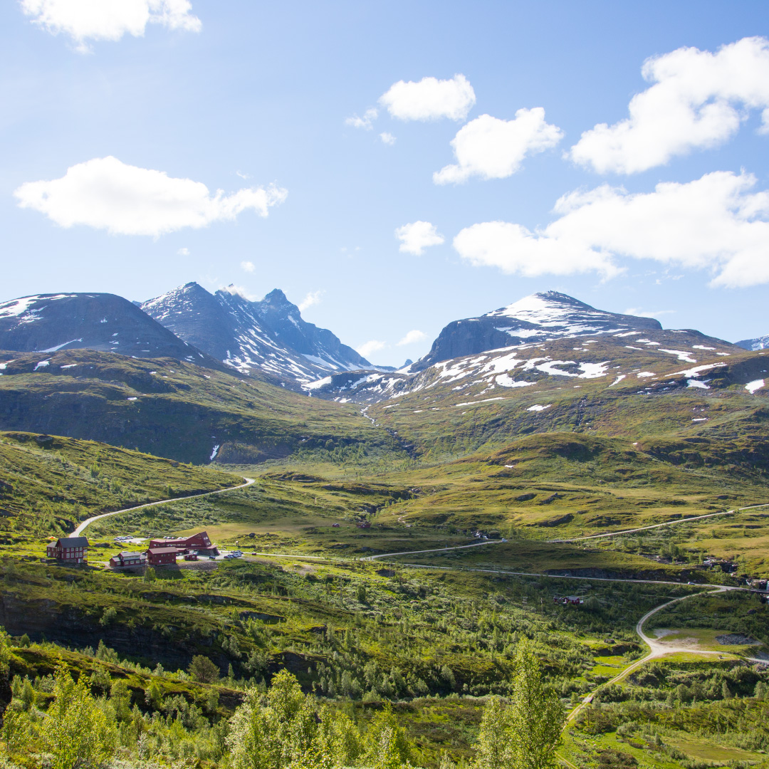
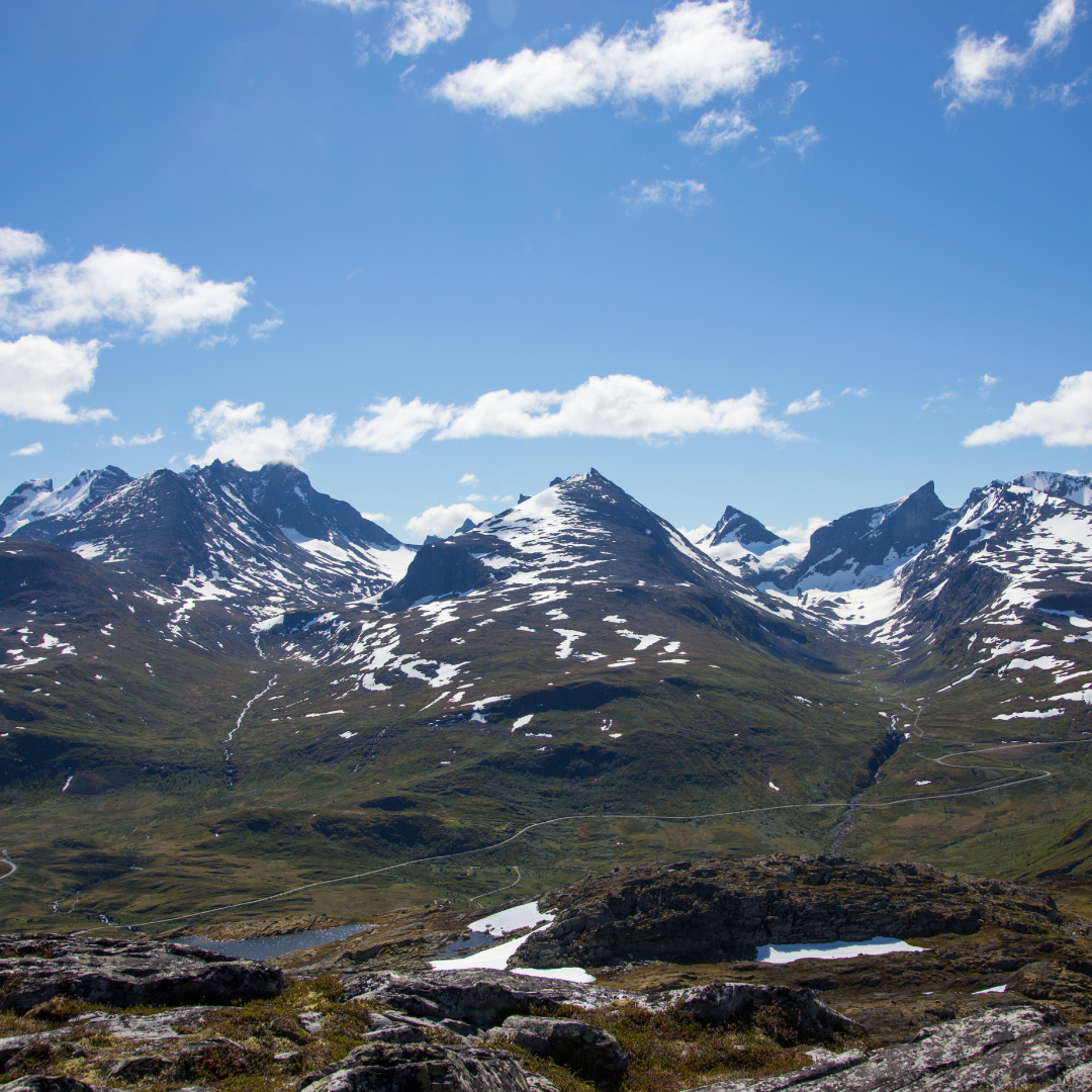
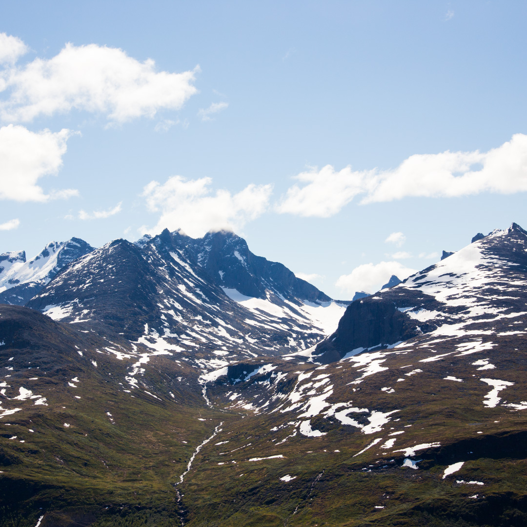
The path starts at Turtagrø along the T-marked path to Nørdstedalssenter/Stølsdalen. Follow this path up over the large deposit of scree that hangs to the side of the hill, up towards Gjesingadalen. You have to cross a small river that usually poses no problems, however it is worth noting that in periods of much rain or melting of snow the river can become enlarged and make the crossing somewhat tricky. However in most circumstances old and young alike should find it no problem. After you pass the river continue along the path for about 500 meters and then take a left (westwards), and then follow the red circles that shall guide you to the highest point, Vardanosi (about 1430m). Up here the terrain is plain and simple so if you loose the markings there is no need to worry – just follow the terrain to the top. Here you will be rewarded with the most spectacular view of Hurrungane. There are many small lakes just in the plateau at the top where, if the weather permits, one can take a dip. In returning you can just continue the way back you came, or take a trip around the terrain and down back to the point where one crosses the river. From here it is just the same way back to Turtagrø.
This is a very traditional trip, one of which the guests at the hotel have enjoyed since Turtagrø was established as a hotel in the 1880s. The name Panorama Trip has its origins in the times when it was normal to hire a guide in order to complete the trip. At that time many of the guests were women who would undertake journeys in their long gowns, with a parasol and hats and footwear that were not in the slightest suited for hiking.
Information:
Duration:
3 – 5 hours
Høyde:
884 – 1411 masl
MAP:
The best map is Hurrungane 1:25000. The map is for sale in the reception at Turtagrø.
