

– More challenging hikes –
dyrhaugstind
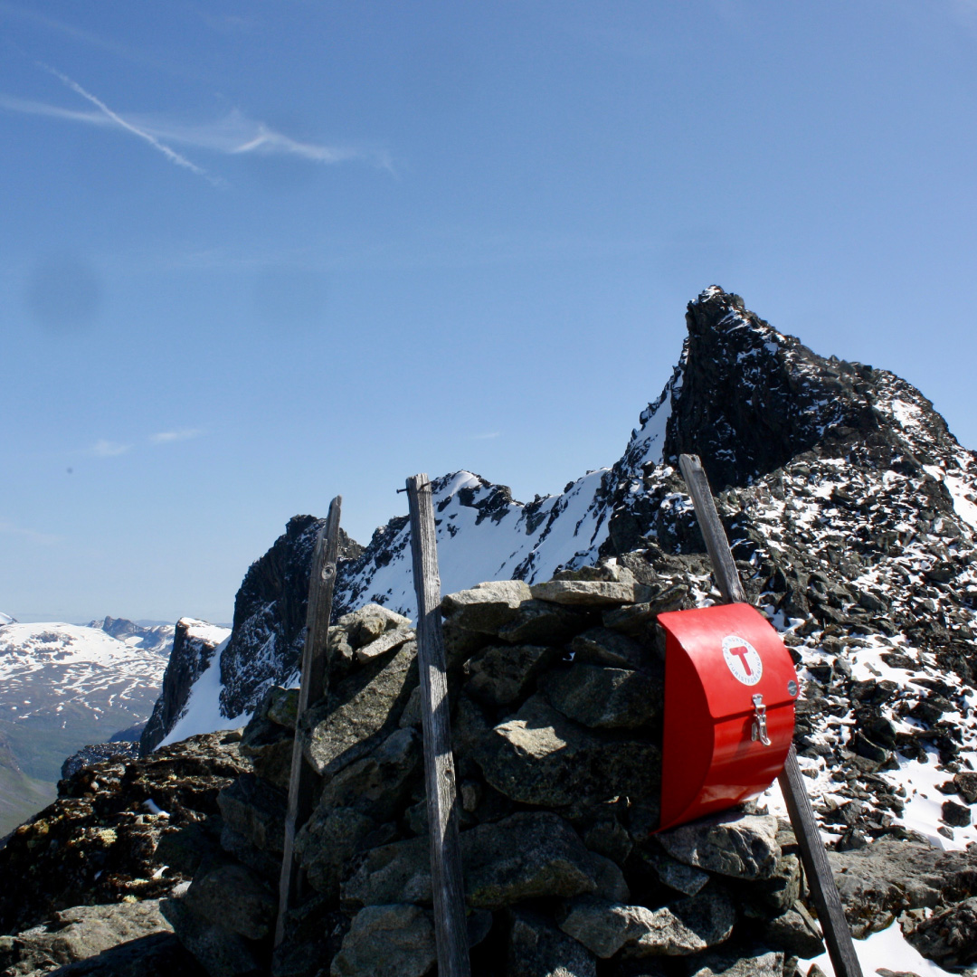
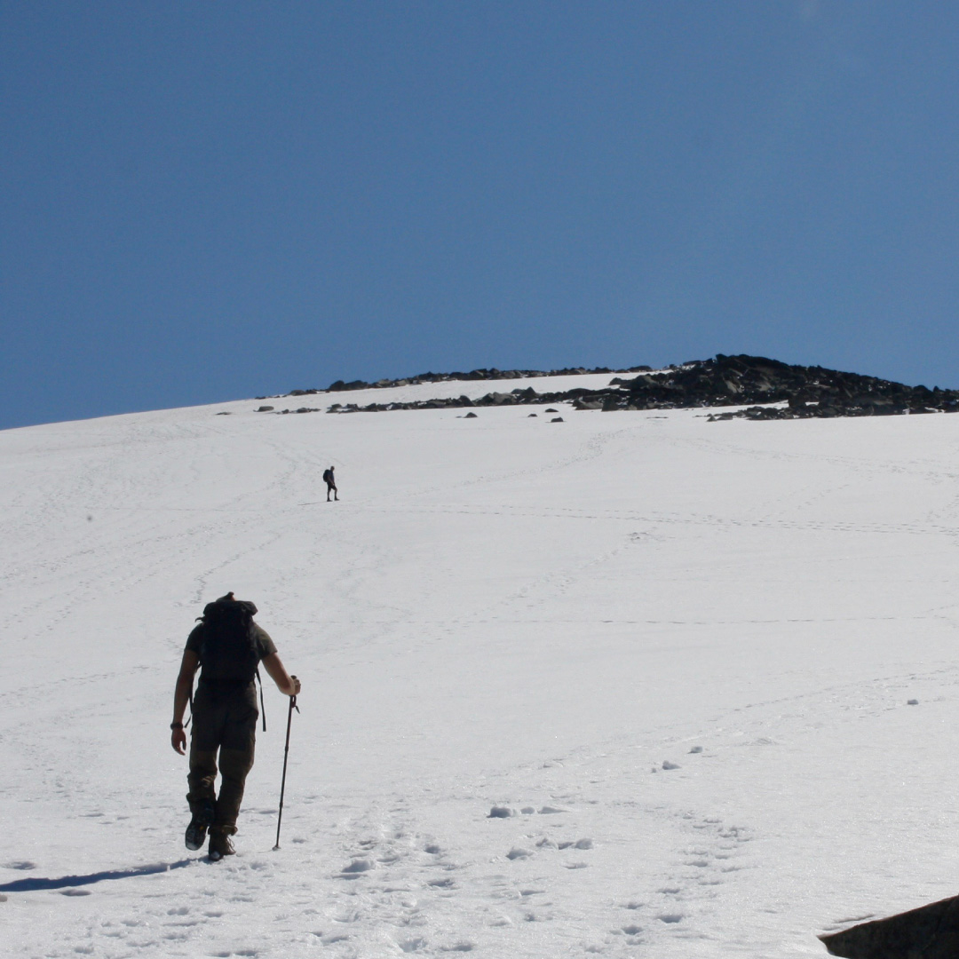
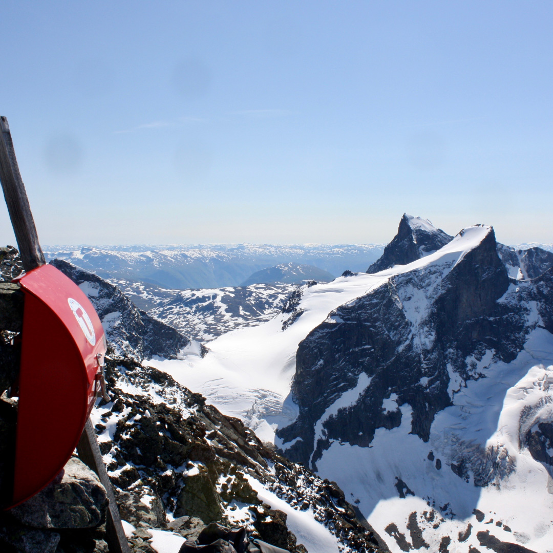
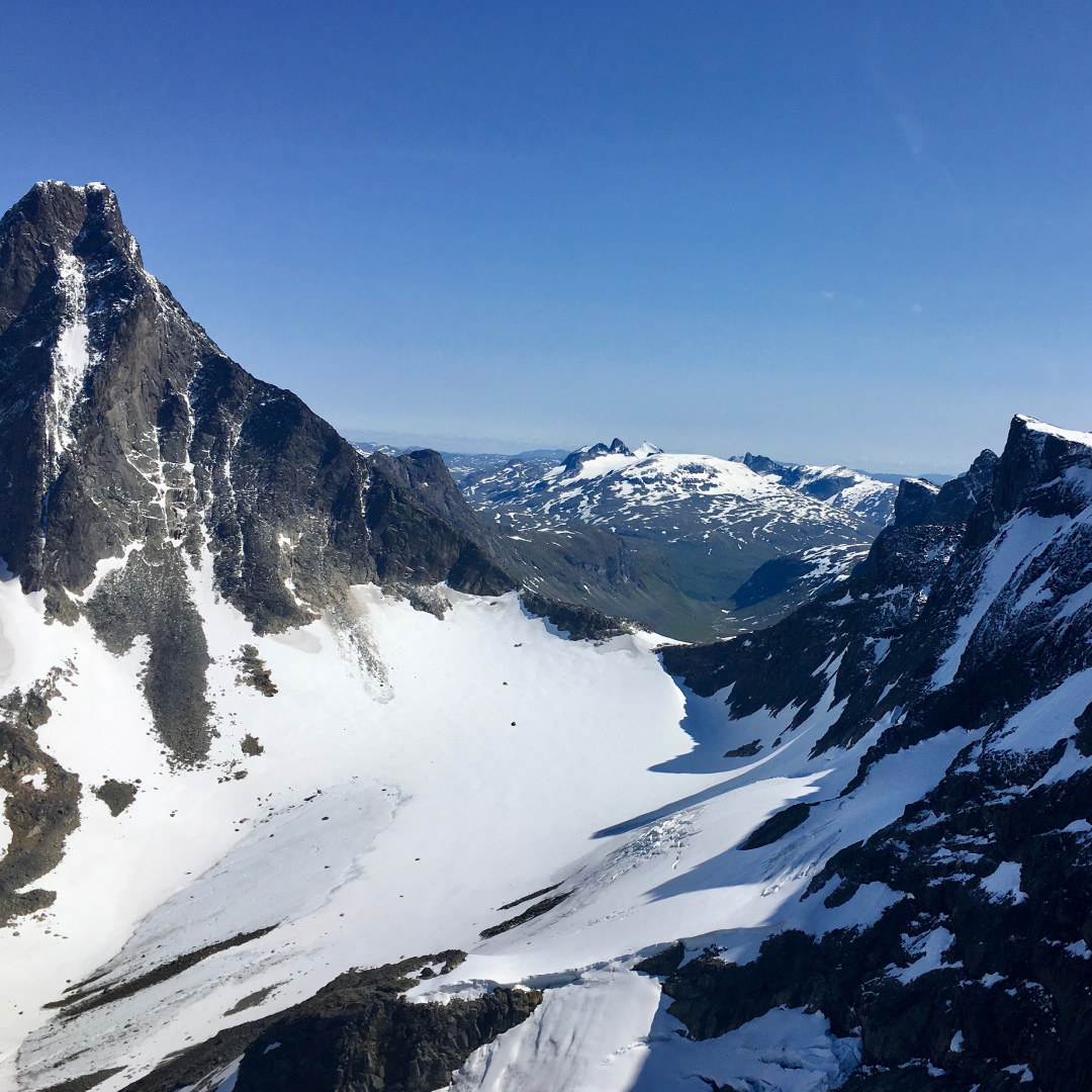
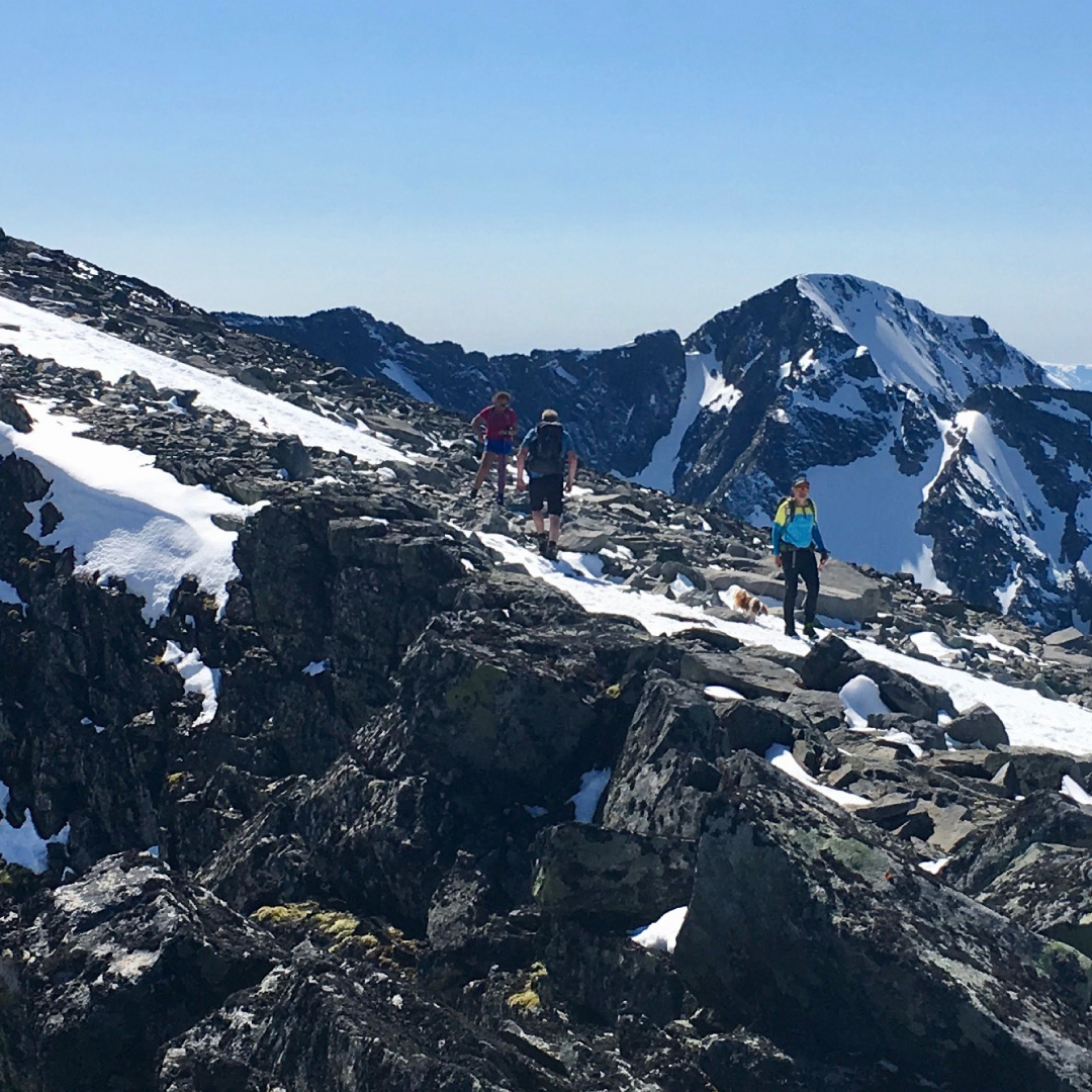
Follow the path up into Skagadalen and over the first hill. At the top you will come to a damn on your right at about 1000 meters. Cross the river and then follow the terrain on the path that may at times be difficult to see. Continue upwards until you reach the top. From the top you have a spectacular view of all of Hurrungane and towards Storen and Ringstindane in particular.
If the weather allows it you can continue along the ridge onto Store Dyrhaugstind. This last part of the trip however is not for the faint hearted as the path becomes very narrow at points with sheer drops either side.
.
Information:
Duration:
6 – 8 hours
Height:
884 – 2147 masl
KART:
The best map is Hurrungane 1:25000. The map is for sale in the reception at Turtagrø.
