


– Easy trips –
ringsdalen
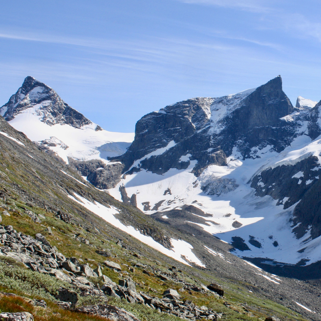
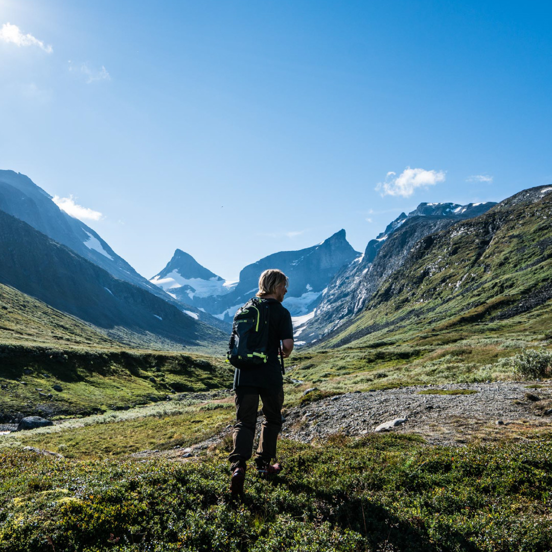
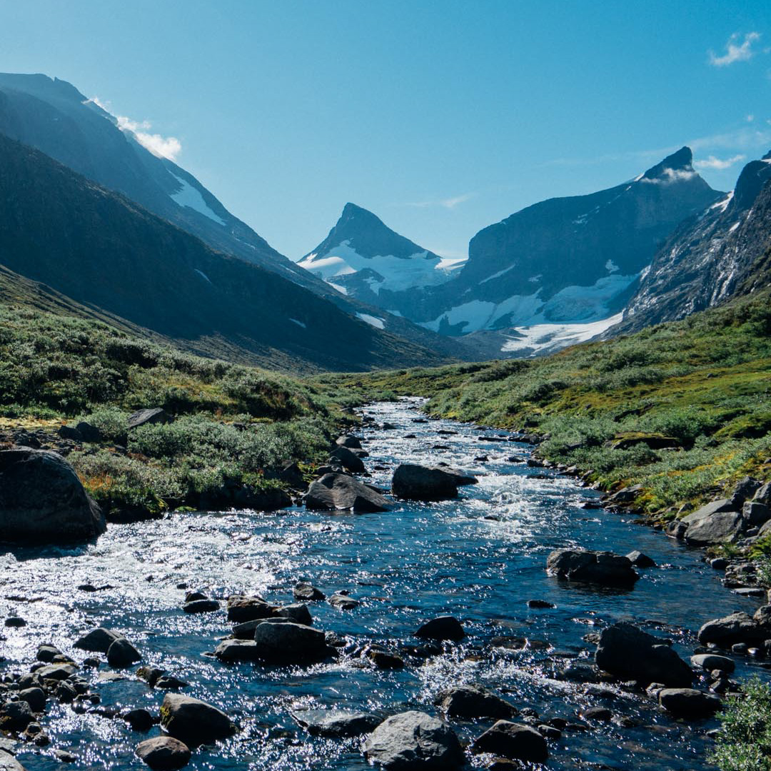
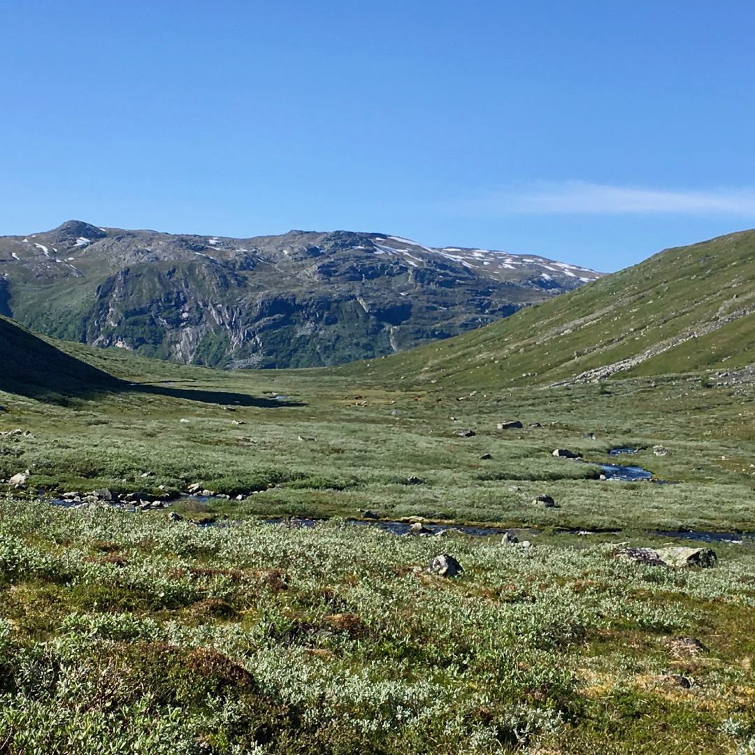
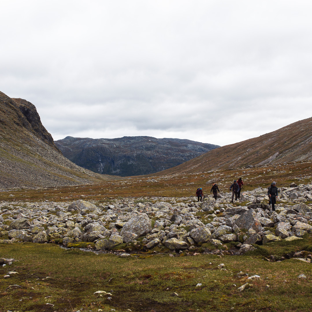
Most people drive the 3kms up to the entrance at Ringsdalen. However the alternative is to follow the path up toward Nedre Dyrhaug to the highest point and then continue into Ringsdalen from there. In able to cross the river it is easiest to use the damn that is situated right at the bottom of the opening to Ringsdalen. Beautiful and relatively simple mountain terrain long in through the base of the valley toward Ringstindane until you come to scree at the base of the descent. Return the same way you came.
Information:
Duration:
2 hours
Height:
1200 masl
KART:
The best map is Hurrungane 1: 25 000. The map is for sale in the reception at Turtagrø.
