


– More challenging hikes –
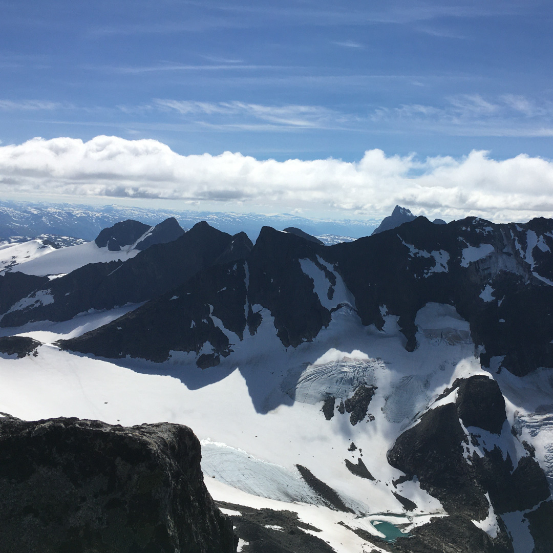
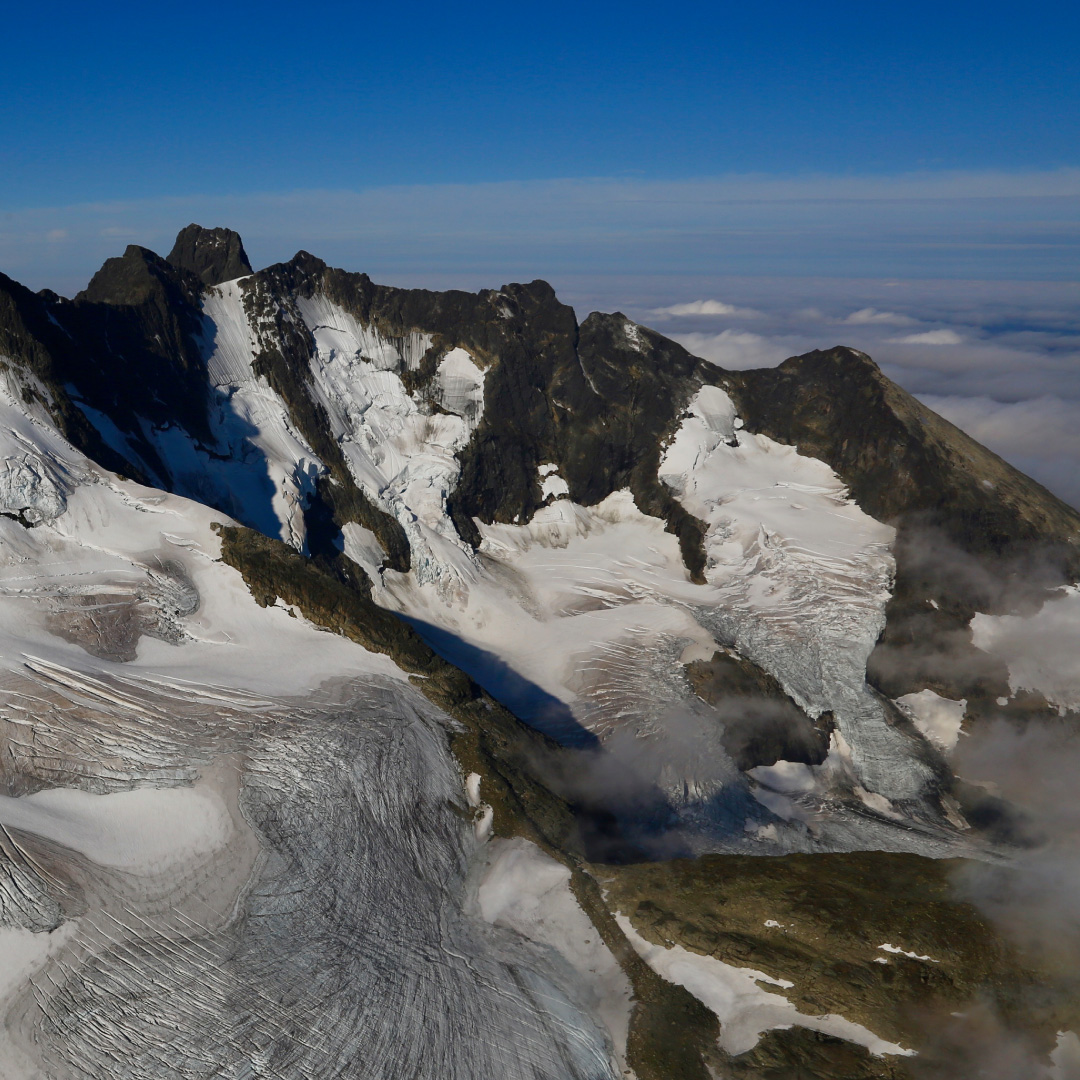
Northern skagastølstind
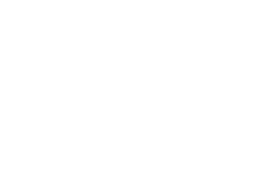
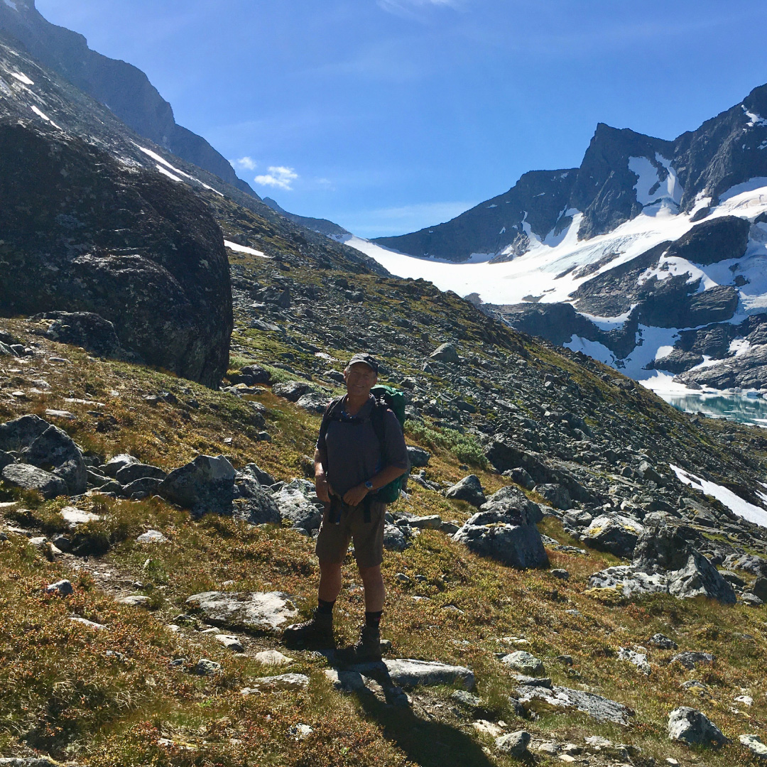
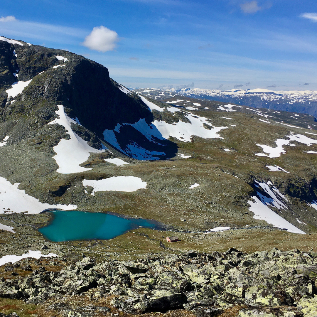
Follow the path all the way to Tinderklubbshytta. From here take an easterly direction (to the left) and head towards the small lake at 1584m. Continue up on the scree towards the top. This point is the easiest in the Skagastølsmassive and does not require climbing.
Information:
Duration:
5 – 8 Hours
Height:
884 – 2167 masl
MAP:
The best map is Hurrungane 1:25000. The map is for sale in the reception at Turtagrø.
