

– lett fottur –
dulsete i mørkrisdalen
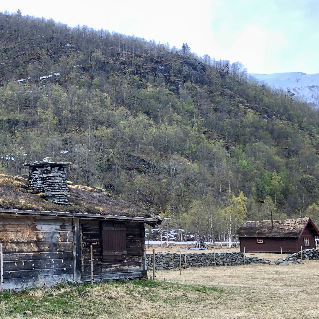
Rivers and trees, strawberry fields, huge ferns and tree covered in moss – experience the wildest and most fertile part of the West Country in Mørkrisdalen. You can take a short trip to Dulsete, continue on to Dalen (about 5 hours return), or you can take the steep route up to Fjellsli on the way up to Arentzbu and Breheimen (7-9 hours return). The village of Skjolden in the Lustrafjord is a 20 minute drive from Turtagrø. From Skjolden you have signposts to Mørkrisdalen. The road runs for about 9km into the valley to a place called Hyrnavollen where you can park your car. From here there is a marked path (with red T letters to show the way). This path will take you to Dulsete and then on to Dalen and Fjellsli. The recommended map to use is the Breheimen map which can be bought in the reception at Turtagrø. Mørkrisdalen er protected from any power-plant developments. The area is particularly fertile and there are fish in the ponds and lakes.
Information:
Duration:
2 – 3 hours
Høyde:
100 – 400 masl
MAP:
The best map is Breheimen 1: 50 000. The map is for sale in the reception at Turtagrø.
