

– More challenging hikes –
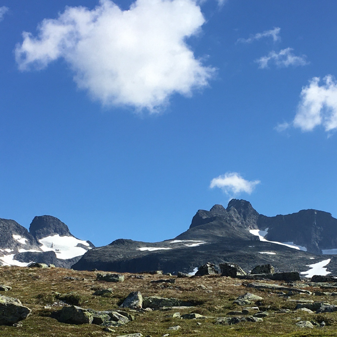
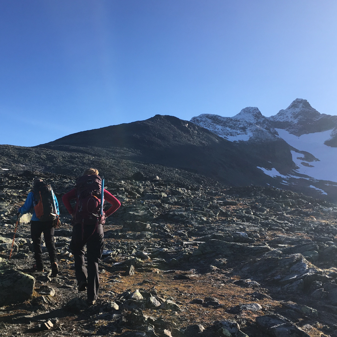
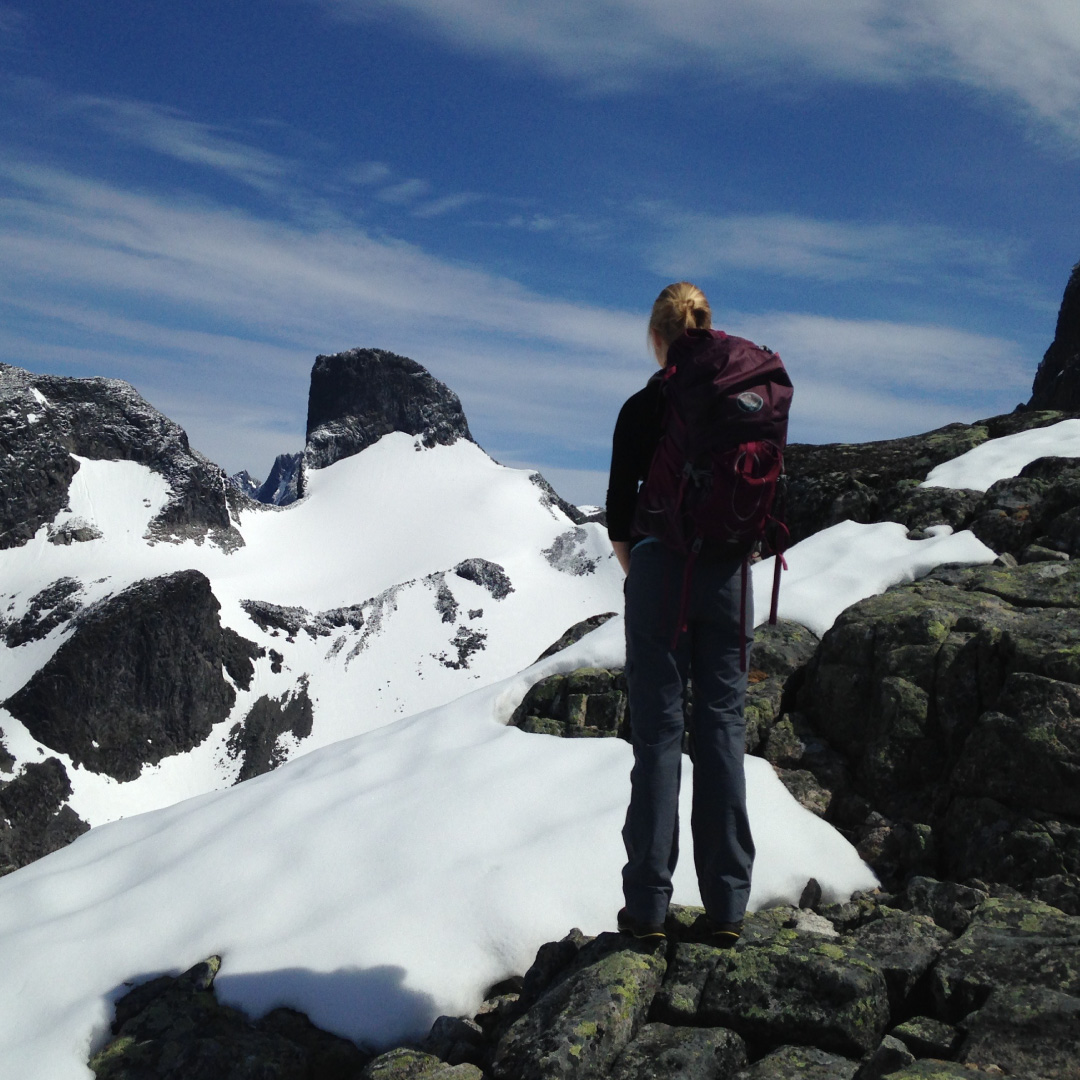
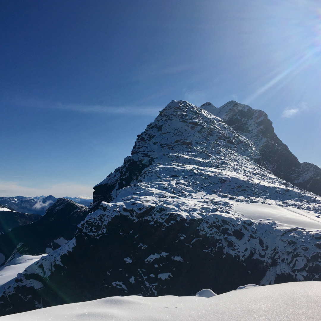
Austabotntind – vesttoppen
Take the road from Turtagrø up over towards Øvre Årdal. Park your car at Berdalsbandet just a few hundred meters down from the toll station.
Keep a little south for the height 1483m. Go past some small lakes and then right and follow the ridge up towards the top to Vesttoppen. There are a few cairns on the ridge upwards.
Information:
Duration:
5 – 6 hours
Height:
1300 – 2100 MASL
MAP:
The best map is Hurrungane 1: 25 000. The map is for sale in the reception at Turtagrø.
