
– EASY TRIPS –
øvre dyrhaug
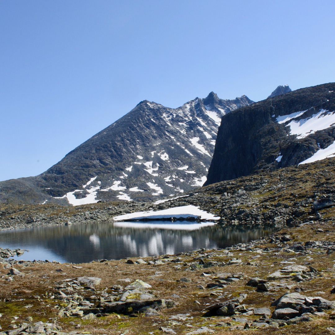
Follow the path in toward Skagadalen on your way up to Tindeklubbhytta. Just at the base of the first ascent you cross the river and continue up with the river on your right side. After a few hundred meters and just as you clear the first hill you will come across a damn at the river which you cross. Continue up this ridge until you reach a postbox where you can sign your name on the top of Nedre Dyrhaug (1207 masi). You can continue another 200m or so upwards to Øvre Dyrhaug where there are a couple of small ponds. There are wonderful views to Fanaråken, Skagadalen and Ringsdalen.
INFORMATION:
DURATION:
3 – 4 hours
HEIGHT:
884 – 1435 masl
MAP:
The best map is Hurrungane 1:25000. The map is for sale in the reception at Turtagrø.
